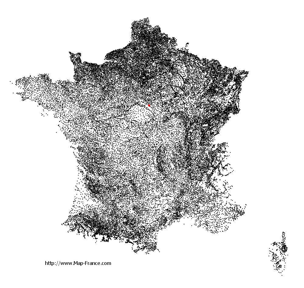
Le Moulinet-sur-Solin on the relief France map in Lambert 93 coordinates
|

See the map of Le Moulinet-sur-Solin in full screen (1000 x 949)
|
At left, here is the location of Le Moulinet-sur-Solin on the relief France map in Lambert 93 coordinates.
Here are the altitudes of Le Moulinet-sur-Solin :
- Town hall altitude of Le Moulinet-sur-Solin is 130 meters
- Minimum altitude of Le Moulinet-sur-Solin is 123 meters
- Maximum altitude of Le Moulinet-sur-Solin is 177 meters
- Medium altitude of Le Moulinet-sur-Solin is 150 meters
Here are the altitudes of Orléans, prefecture of Loiret department:
- Town hall altitude of Orléans is 110 meters
- Minimum altitude of Orléans is 90 meters
- Maximum altitude of Orléans is 124 meters
- Medium altitude of Orléans is 107 meters
Here are the altitudes of the french biggest cities:
Paris : 33 meters
Marseille : 20 meters
Lyon : 237 meters
Toulouse : 146 meters
Nice : 10 meters
Nantes : 20 meters
Strasbourg : 144 meters
Montpellier : 35 meters
Bordeaux : 16 meters
Lille : 20 meters
Rennes : 35 meters
Reims : 83 meters
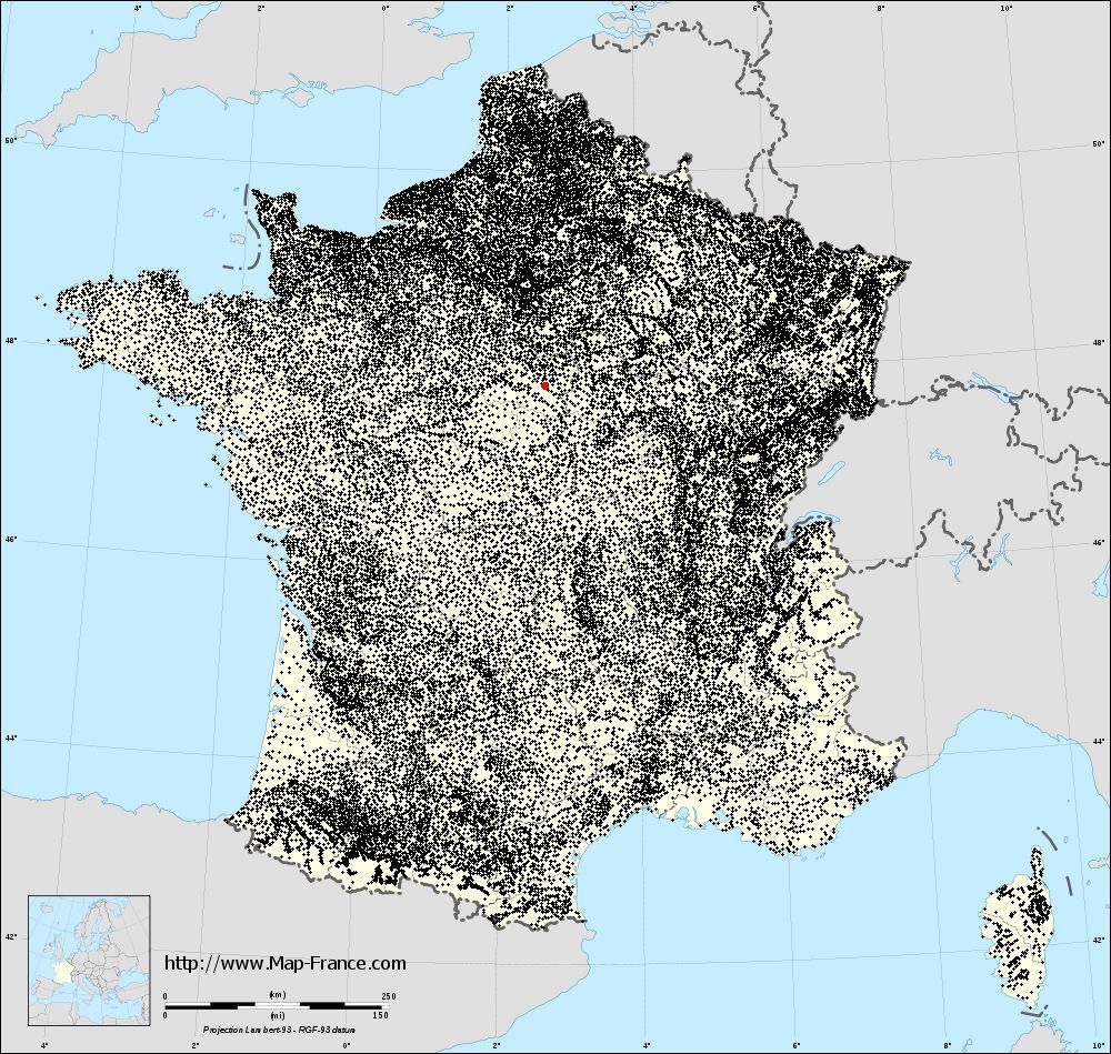
Click here for the terrain map of Le Moulinet-sur-Solin in full screen:
Relief map of Le Moulinet-sur-Solin
|
This relief map of Le Moulinet-sur-Solin is reusable and modifiable by making a link to this page of the Map-France.com website or by using the given code :
|
Terrain base map of Le Moulinet-sur-Solin
|

See the terrain base map of Le Moulinet-sur-Solin in full screen (1000 x 949)
|
Small relief base map of Le Moulinet-sur-Solin

|
This base map of Le Moulinet-sur-Solin is reusable and modifiable by making a link to this page of the Map-France.com website or by using the given code :
|
Map of Le Moulinet-sur-Solin with regions and prefectures
|
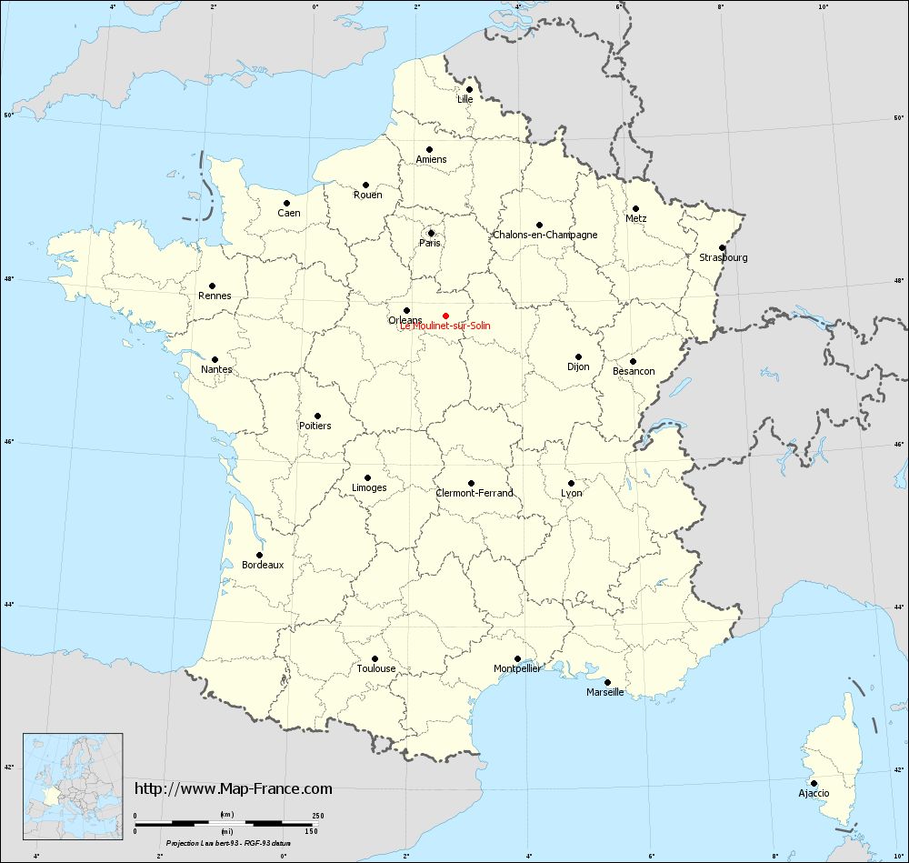
View the map of Le Moulinet-sur-Solin in full screen (1000 x 949)
|
You will find the location of Le Moulinet-sur-Solin on the map of France of regions in Lambert 93 coordinates. The town of Le Moulinet-sur-Solin is located in the department of Loiret of the french region Centre.
Geographical sexagesimal coordinates / GPS (WGS84):
Latitude: 47° 50' 15'' North
Longitude: 02° 37' 33'' East
Geographical decimal coordinates :
Latitude: 47.838 degrees (47.838° North)
Longitude: 2.627 degrees (2.627° East)
Lambert 93 coordinates :
X: 6 720 hectometers
Y: 67 486 hectometers
Lambert 2 coordinates :
X: 6 217 hectometers
Y: 23 154 hectometers
Below, the geographical coordinates of Orléans, prefecture of the Loiret department:
Geographical sexagesimal coordinates / GPS (WGS84):
Latitude: 47° 54' 08'' North
Longitude: 01° 54' 15'' East
Geographical decimal coordinates :
Latitude: 47.904 degrees (47.904° North)
Longitude: 1.907 degrees (1.907° East)
Lambert 93 coordinates :
X: 6 181 hectometers
Y: 67 563 hectometers
Lambert 2 coordinates :
X: 5 677 hectometers
Y: 23 226 hectometers
|
This map of Le Moulinet-sur-Solin is reusable and modifiable by making a link to this page of the Map-France.com website or by using the given code :
|
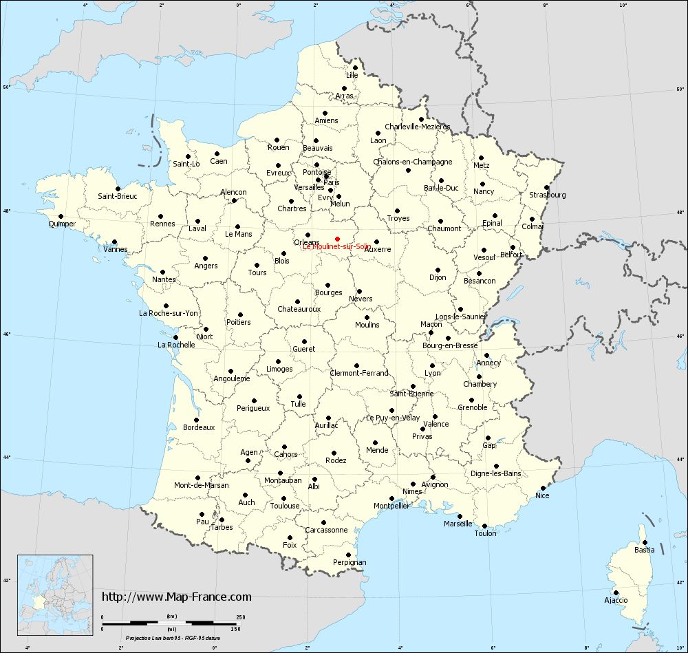
Map of Le Moulinet-sur-Solin with departments and prefectures
|
Voir la carte of Le Moulinet-sur-Solin en grand format (1000 x 949)
|
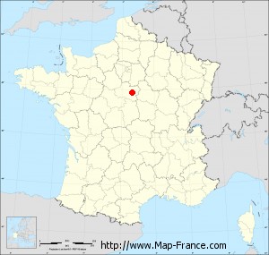
Here is the localization of Le Moulinet-sur-Solin on the France map of departments in Lambert 93 coordinates. The city of Le Moulinet-sur-Solin is shown on the map by a red point.
The town of Le Moulinet-sur-Solin is located in the department of Loiret of the french region Centre.
The latitude of Le Moulinet-sur-Solin is 47.838 degrees North.
The longitude of Le Moulinet-sur-Solin is 2.627 degrees East.
Here the distance between Le Moulinet-sur-Solin and the biggest cities of France:
Distances are calculated as the crow flies (orthodromic distance)
Distance between Le Moulinet-sur-Solin and Paris : 115.51 kilometers
Distance between Le Moulinet-sur-Solin and Marseille : 548.54 kilometers
Distance between Le Moulinet-sur-Solin and Lyon : 285.47 kilometers
Distance between Le Moulinet-sur-Solin and Toulouse : 479.63 kilometers
Distance between Le Moulinet-sur-Solin and Nice : 582.68 kilometers
Distance between Le Moulinet-sur-Solin and Nantes : 321.08 kilometers
Distance between Le Moulinet-sur-Solin and Strasbourg : 388.59 kilometers
Distance between Le Moulinet-sur-Solin and Montpellier : 479.72 kilometers
Distance between Le Moulinet-sur-Solin and Bordeaux : 413.52 kilometers
Distance between Le Moulinet-sur-Solin and Lille : 311.46 kilometers
Distance between Le Moulinet-sur-Solin and Rennes : 321.76 kilometers
Distance between Le Moulinet-sur-Solin and Reims : 188.56 kilometers
Clic here to see the map of Le Moulinet-sur-Solin in full screen:
Le Moulinet-sur-Solin on the map of french departments
|
This administrative map of Le Moulinet-sur-Solin is reusable and modifiable by making a link to this page of the Map-France.com website or by using the given code :
|
Administrative base maps of Le Moulinet-sur-Solin
|

See the administrative base map of Le Moulinet-sur-Solin in full screen (1000 x 949)
|
Small administrative base map of Le Moulinet-sur-Solin
|
This base map administrative of Le Moulinet-sur-Solin is reusable and modifiable by making a link to this page of the Map-France.com website or by using the given code :
|
 French Version : http://www.cartesfrance.fr